The links in this article point to a free Heroku instance, which can shut down due to inactivity. It may take a few seconds for the instance to start up.
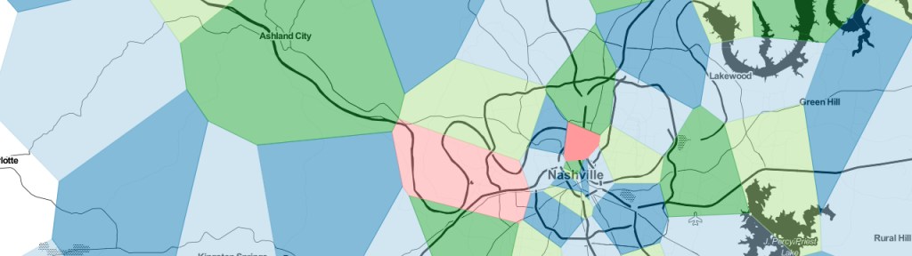
I've uploaded a little experiment to Heroku, showing something I toyed around with a couple years ago. Would it be possible to approximate a map of zipcodes using just centerpoints? I loaded the US zipcode list from GeoNames, and using the center points of each zipcode computed a Voroni Diagram.
Use the link below and click anywhere in the US to get a collection of postal code cells in a ~50 mile radius.
Technologies used: